Satellite and aerial maps of Clay National Guard Center with nearby locations
| Nearby locations | Km | Bearing | |
|---|---|---|---|
| Dobbins AFB , Georgia | 1.6 | 073 | KMGE |
| | 9.8 | 230 | 34GA |
| Cobb County / McCollum Field , Georgia | 13.0 | 329 | KRYY |
| Fulton County / Brown Field , Georgia | 14.9 | 178 | KFTY |
| WSB-TV Skypad heliport , Georgia | 18.0 | 134 | 7GA1 |
| GWCC , Georgia | 20.4 | 145 |
Clay National Guard Center |
1958 to present | ||
| 33° 54' 46.08'' N 84° 31' 30.01'' W | ||
| Fair Oaks, Marietta, Georgia | ||
| ICAO: KNCQ | IATA: | |
| Elevation: 1068 feet | ||
Located immediately south of Dobbins AFB which shares its runways. NAS Atlanta closed September 26, 2009.
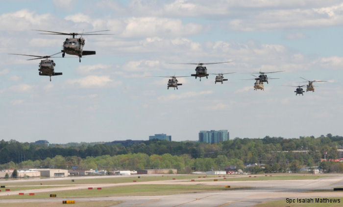
Main base of Georgia Army National Guard aviation and headquarters for the Georgia State Department of Defense
Main base of Georgia Army National Guard aviation and headquarters for the Georgia State Department of Defense
List of units at Clay National Guard Center |
| Years | Unit | |
|---|---|---|
| 1976/10 | HMLA-773 | UH-1N, 209 AH-1 Cobra, |
| Georgia National Guard | CH-47F Chinook, S-70 H-60, UH-72A Lakota, | |
Clay National Guard Center News |